

Geography and Ecological Features
Topography & Environmental Features
⛰️ 1. Topography & Forest Area Geography

Spanning an area of 22.37 sq. km (7,102 acres & 38 cents), Tholicode Grama Panchayat consists of a diverse terrain comprising hills, slopes, and plains.
Key Highlights:
- Forest Area: Out of the total area, 728 hectares are designated forest land.
- Scheduled Tribe Settlements: Contains 14 Scheduled Tribe settlements within the Chooliamala Forest Reserve.
- Administrative Wards: The panchayat is divided into 16 electoral wards.
- Natural Rock Formations: Key natural features include prominent rock formations and dense tree cover in areas like Cheetipara and Poovarathukunnu.
🌱 2. Agriculture & Soil Agronomy
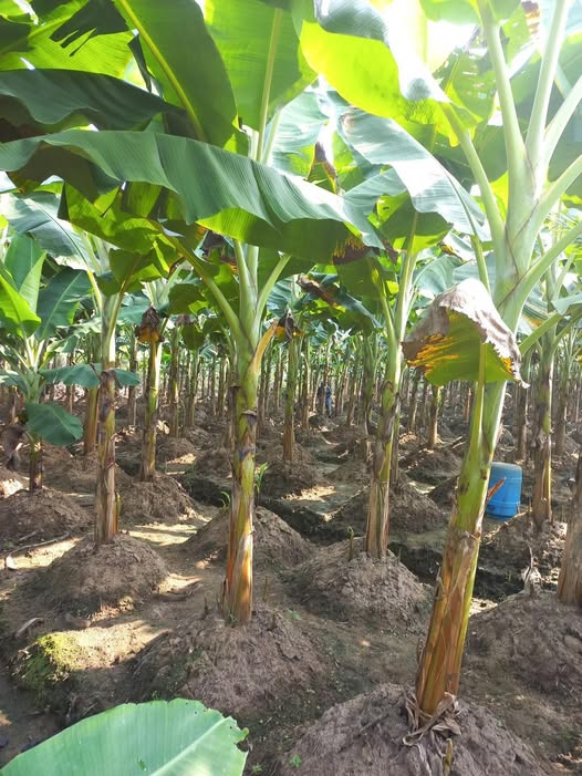
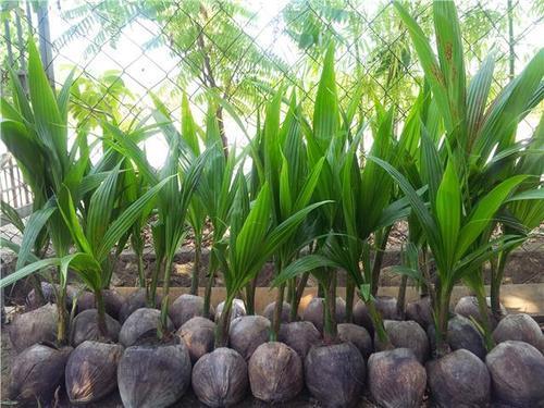
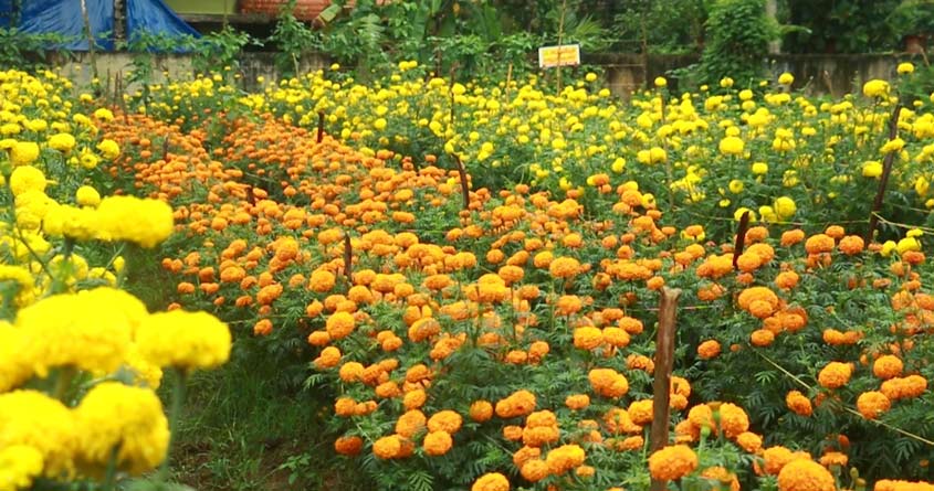
Rubber plantations dominate the hillsides and slopes, while coconut, plantain (banana), and other cash crops flourish in the plains. Highly fertile topsoil underpins the agricultural richness of the region.
Paddy farming was once prominent; however, due to widespread land reclamation, paddy fields are now restricted to very small pockets.
💧 3. Water Resources & Rivers Hydrography

The Vamanapuram River, which originates from the Ponmudi hills, flows near this panchayat. Abundant natural springs, ponds, streams, and water channels make the region naturally water-rich.
⚠️ 4. Environmental Challenges & Settlement Challenges
Key Environmental Issues:
- Drinking Water Scarcity & Drought: Excessive sand mining, paddy land filling, and reduced rainfall aggravate summer drought issues.
- Water Contamination: Pollution of water channels and reduced soil tilling (which hinders rainwater infiltration into the ground) pose serious risks.
- Quarries & Fallow Lands: Unfilled rock quarries, along with an increase in fallow land and declining farming practices, create localized ecological issues.
Settlement Pattern: The Thiruvananthapuram - Ponmudi State Highway passes directly through the panchayat. Driven by urbanization, residential development is concentrated along the main roads with modern housing structures.


